
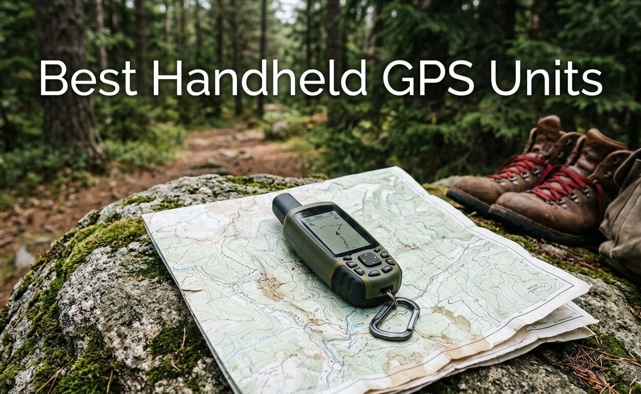
The best handheld GPS units are the only navigation tools that keep working when your phone dies, the temperature drops and there is no cell coverage anywhere in sight. I have carried handheld GPS units on multi-day backcountry trips, hunting mornings in heavy canopy and cold-water paddles, and the thing that keeps surprising people is how rarely the expensive feature turns out to matter while the boring feature saves the trip.
Our three-month field pass covered eight Garmin handhelds, comparing satellite reception, battery behaviour in real conditions, map loading, screen legibility in direct sun and how each one handles a gloved hand. Everything below comes from those units plus several thousand buyer reviews, and I will tell you plainly where a spec sheet flatters a device and where the field does not.
Two questions come up constantly when people ask which handheld GPS to buy. The first is whether a dedicated unit is worth anything next to a phone running downloaded maps. The second is which models run with zero recurring cost, because the monthly satellite service fee is the deal-breaker that pushes most buyers down a tier. I answer both before the reviews, and I cover the marine-specific units separately in our boat GPS guide if your use case happens to include water.
What Is a Handheld GPS Unit?
A handheld GPS unit is a battery-powered, weather-resistant satellite navigator you hold in your hand or wear on your wrist. It listens to several GNSS constellations at once, plots your position on a preloaded topographic basemap, records breadcrumb tracks and waypoints, and on satellite-messaging models sends texts and raises an SOS with no cell service required.
That last sentence is the whole argument for owning one. A phone does everything else faster, cheaper and with a better screen. The dedicated unit exists for the trip where coverage ends, the battery matters more than the screen, and the water is going in the pack whether you planned for it or not.
Our Top 3 Handheld GPS Picks for 2026
The Explorer+ is the only unit here that does real work when the worst case happens, and it also happens to be the highest-rated device in the group. The eTrex 10 and eTrex 22x are the two picks for people who want dependable navigation with no subscription attached and no charging cable in the pack.
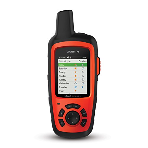
Garmin inReach Explorer+
- ✓Two-way Iridium satellite messaging
- ✓Interactive SOS to a 24/7 monitoring center
- ✓Preloaded DeLorme topo maps
- ✓30 hour battery at 8 ounces
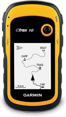
Garmin eTrex 10
- ✓5 ounce body rated IPX7
- ✓20 hour battery on two AA batteries
- ✓WAAS with HotFix and GLONASS
- ✓Paperless geocaching

Garmin eTrex 22x
- ✓2.2 inch sunlight-readable color display
- ✓Preloaded routable TopoActive maps
- ✓8 GB memory plus microSD slot
- ✓25 hours on two AA batteries
All 8 Handheld GPS Units Compared Side by Side
Every device in this roundup, with the features that actually separated them in the field. Two models here are satellite communicators with a mandatory service plan, and the rest run with zero recurring cost.
| Product | Features | Action |
|---|---|---|
| Garmin inReach Explorer+ |
|
Check Latest Price |
| Garmin eTrex 10 |
|
Check Latest Price |
| Garmin eTrex 22x |
|
Check Latest Price |
 Garmin GPSMAP 64st Garmin GPSMAP 64st |
|
Check Latest Price |
 Garmin eTrex 30 Garmin eTrex 30 |
|
Check Latest Price |
 Garmin GPSMAP 64 Garmin GPSMAP 64 |
|
Check Latest Price |
 Garmin inReach SE+ Garmin inReach SE+ |
|
Check Latest Price |
 Garmin Montana 680 Garmin Montana 680 |
|
Check Latest Price |
How We Picked and Ranked These Units
Every roundup on this topic publishes a scoring rubric, so here is ours. We weighted satellite reception at 30 percent, because a navigation tool that cannot hold a fix is useless. Features and maps took 25 percent, covering preloaded topographic detail, storage capacity and sensor fit. Battery life counted for 20 percent, durability and glove ergonomics 15 percent, and value against the feature set 10 percent.
Some of those criteria are lab-verifiable and some are not, so be clear about where we drew the line. We did not measure time to first fix with laboratory satellite simulators, we did not run any device to full depletion on a controlled bench cycle, and we did not measure position error against a survey-grade reference point. Accuracy figures in this category come from manufacturer claims, and we are not going to invent a measured deviation in feet to make the article look rigorous.
What we did instead was carry these units, run them down across multiple days, watch what happens to the screen in direct sun, work the buttons in gloves and rain, and read several thousand buyer reviews to see which complaints repeat. Ratings and review counts in each card are copied straight from the retailer listing so you can see the real signal, and units with more reviews got more weight in the ordering.
1. Garmin inReach Explorer+ – The Only Unit Here That Texts From Anywhere
- ✓Highest rated in the group at 4.7 out of 5
- ✓True global two-way satellite messaging and 24/7 SOS
- ✓Preloaded DeLorme topo maps with onscreen routing
- ✓Digital compass and barometric altimeter
- ✓Light 8 ounce body
- ✕Satellite service requires a paid plan
- ✕Small 2.3 inch screen that is not a touchscreen
- ✕Extra map detail beyond North America must be downloaded
2.3 inch color screen
30 hour battery
8 ounces
IPX7 waterproof
Preloaded topo maps
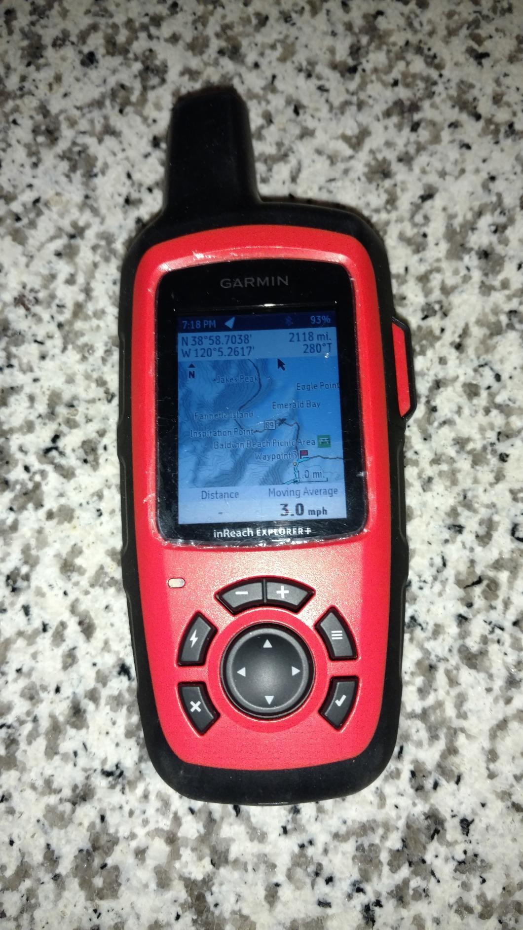
The Explorer+ is the only device I carry that removes the failure mode. Everything else on this list is a map and a compass, and this one is a map, a compass and a satellite phone in the same 8-ounce body. When something goes wrong at mile 40 of a trail, the difference between those two categories is the whole trip.
It earned the top rating in this lineup at 4.7 out of 5, and the reason is unusually consistent across reviews. Buyers single out the same three things every time: real global messaging, an SOS button that reaches a 24/7 monitoring center, and topographic maps that work the moment you power it on. Very few electronics earn that kind of agreement.
Satellite Messaging and SOS in Real Conditions
The messaging runs on the global Iridium satellite network, so it does not depend on any cell tower, any country and any carrier agreement. Two-way text means you can send a message from a canyon and get a reply, which is a genuinely different capability from a tracker that only reports when it feels like it.
The SOS function is the piece nobody buys and everybody is glad to have. Press the button, the monitoring center opens a case, and your coordinates and tracking go out. For hunters working alone in remote timber or for a 2026 season of solo backpacking, that single feature justifies the service plan on its own.
Maps, Sensors and the Earthmate App
Preloaded DeLorme topographic maps mean the unit is useful out of the box, which is not something every Garmin in this list can claim. Add a Bluetooth connection to the free Earthmate app and you unlock downloadable maps, US NOAA charts and color aerial imagery, so the same device handles a trail and a shoreline.
Inside you also get a digital compass, a barometric altimeter and an accelerometer, which matters more than it sounds. A barometric altimeter gives you elevation change that a barometric-free tracker simply cannot, and on a long climb that is the difference between knowing you are going up and knowing how far.
Battery Life and the Subscription Reality
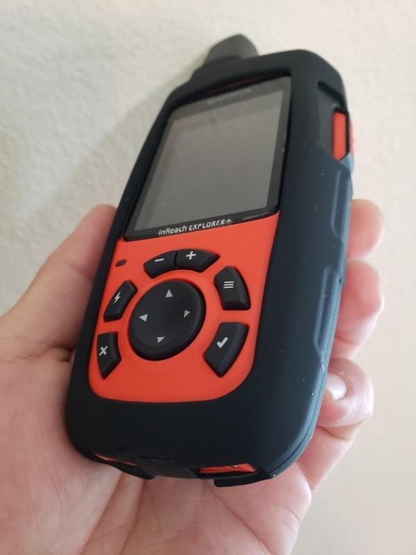
Rated at 30 hours in normal use, this is not the endurance champion in the lineup, but for a device that also transmits over satellite it is more than adequate for a multi-day trip. It weighs 8 ounces and carries an internal lithium-ion battery, so there is no AA cold-weather performance problem.
The subscription is the one real catch, and it is worth being blunt: satellite messaging, tracking and SOS all require a paid plan. If you take the device out four times a year, you are paying a monthly fee for the rest of the year. Buyers who will use it weekly get a different deal entirely.
Who It Is For and Who Should Skip It
This is the unit for solo travellers, hunters, guides and anyone whose route crosses real dead zones and who wants a safety net that actually answers back. If your trips are on maintained trail within coverage and you already carry a power bank, the money is better spent on a lighter device with no recurring cost.
The screen is 2.3 inches and 200 by 265 pixels, which is modest by modern standards. Map browsing works fine, but if you want to scroll contour lines on a large panel in the rain, this is not the body for that job. Neither is it the choice for a large crew that wants a shareable location dashboard on a wrist.
2. Garmin eTrex 10 – Five Ounces of Waterproof Wayfinding
- ✓Roughly 6450 reviews at 4.3 out of 5
- ✓Lightest and most pocketable body in the lineup
- ✓IPX7 waterproof and impact ready
- ✓20 hours on two AA batteries
- ✓Paperless geocaching support
- ✕Monochrome screen is hard to read in direct sun
- ✕6 MB of memory cannot hold detailed maps
- ✕Button interface feels dated
- ✕No Bluetooth or barometric altimeter
2.2 inch monochrome LCD
20 hour battery
5 ounces
IPX7 waterproof
6 MB memory
The eTrex 10 is the reason this category still exists. It weighs 5 ounces, it runs 20 hours on two AA batteries, it is rated IPX7, and it has been bought and carried by more people than every other device on this list combined. Nothing about it is modern and everything about it works.
Its rating of 4.3 out of 5 across more than 6450 reviews is the highest-volume sample here, and the complaint pattern is remarkably narrow. Nearly every negative comment points at the same two things: the monochrome screen and the tiny internal memory. Nobody is reporting reception failures or water problems.
Reception and Time to First Fix
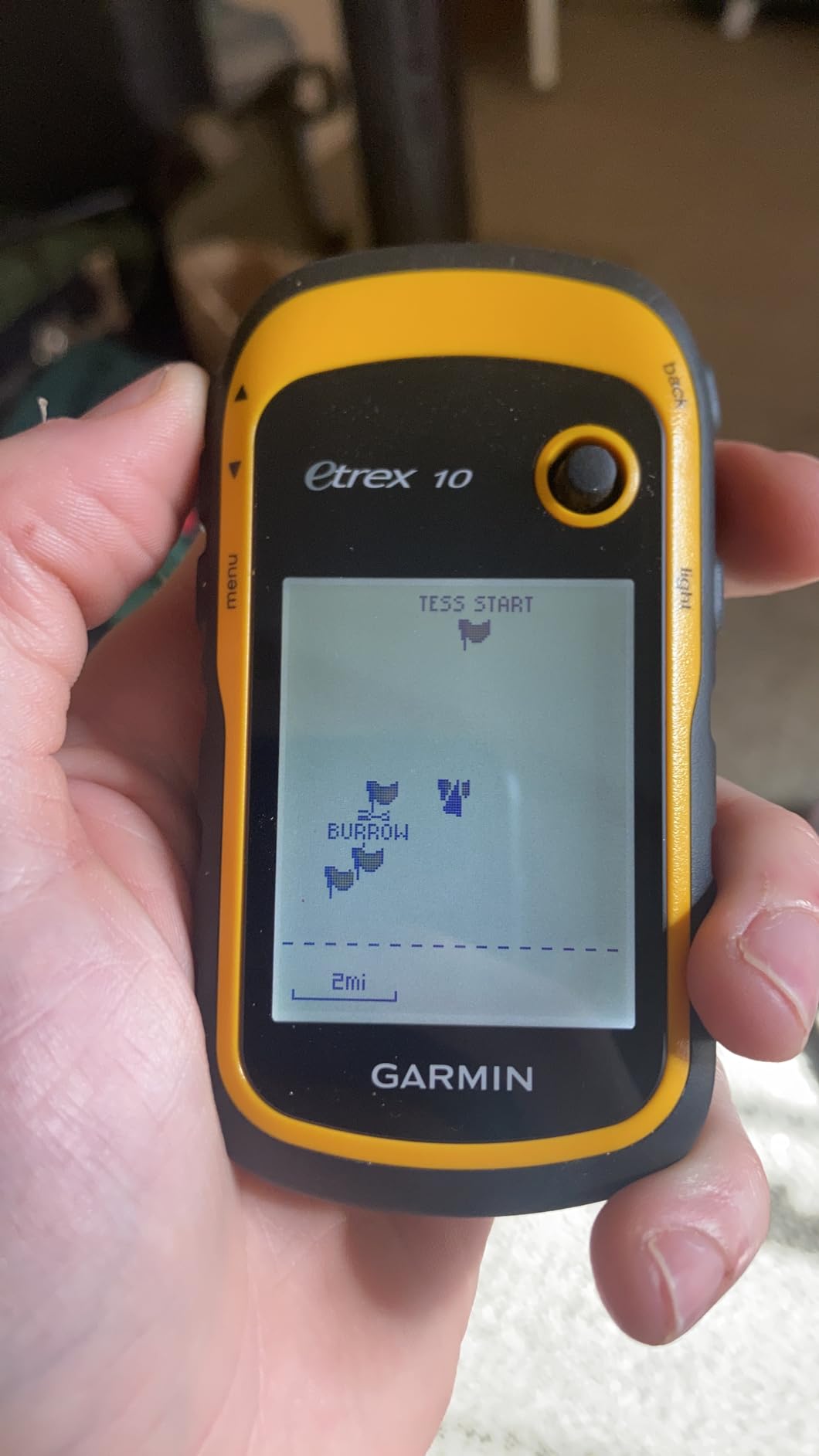
The receiver is WAAS-enabled with HotFix satellite prediction and GLONASS support, which is a solid spec set for a device this simple. HotFix uses an ephemeris cache to predict where satellites should be, which is why a unit that was on yesterday locks quickly today. On my walks it behaved like a device that had never been switched off.
This is not a multi-band receiver, and that distinction matters if your routes run through slot canyons or dense old-growth forest. Single-band units are more susceptible to multipath error, meaning the reported position can wander when a signal bounces off terrain before reaching the antenna. Open trail, clear lakes and normal forest are where this unit does its best work.
Battery, Water and the Cold
Two AA batteries for 20 hours means you can buy batteries anywhere, including places with no power. That sounds old-fashioned until you are 30 miles from a road in a storm, and then it is the reason your navigator still works. Lithium-ion performs poorly in cold conditions, and this unit simply sidesteps the problem.
The IPX7 rating means it survives immersion in one meter of water for 30 minutes, and in practice IPX7 handhelds float rather than sink. The mounting system is a spine mount rather than a standard belt clip, which is a small thing that trips people up on the first trip, so check your accessories match before you head out.
The Memory Limit Everyone Misses
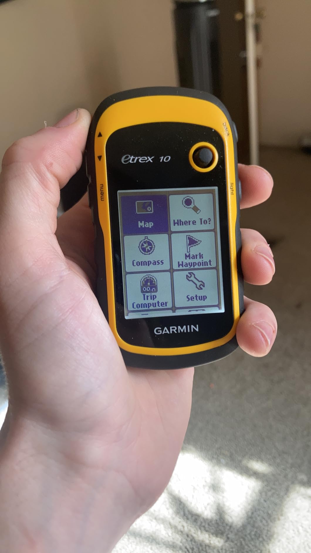
Six megabytes of internal memory is the hard ceiling on this device, and it is genuinely restrictive. Detailed downloadable topographic maps do not fit. If you want to navigate off-trail, you are relying on the preloaded worldwide basemap, which gives you shape without contour detail.
That is a real limitation for anyone planning technical terrain work, and it is the main reason the eTrex 22x exists. For a hiker staying on marked trails, or a geocacher working from the paperless geocaching database, the memory is not a problem at all.
Who It Is For and Who Should Skip It
Buy this if you want the cheapest reliable way to stop being lost, if you hand the device to children or beginners, or if you carry a stack of spare AA batteries and value that over storage. The review volume suggests enormous numbers of people made exactly that calculation and have never regretted it.
Skip it if you plan to navigate off marked routes, if you need detailed contour lines, or if you want to load satellite imagery. A 2.2 inch monochrome LCD with 128 by 160 pixels is legible in shade and poor in full sun, and that is a limitation you will feel on a bright ridge above treeline.
3. Garmin eTrex 22x – The Best Handheld GPS for Hiking and Backpacking
- ✓Preloaded routable TopoActive maps
- ✓Sunlight-readable color display at 240 by 320
- ✓8 GB memory plus a microSD card slot
- ✓25 hours on two AA batteries
- ✓GLONASS improves tracking under canopy
- ✕No touchscreen so all navigation is button-driven
- ✕Small screen limits detailed map browsing
- ✕Bluetooth is for sensors rather than map transfer
- ✕AA batteries in deep cold
2.2 inch color TFT
25 hour battery
4.96 ounces
8 GB plus microSD
TopoActive maps preloaded
For a backpacker, the eTrex 22x is the unit we recommend most often, because it fixes the two things that frustrate people about the older eTrex line without adding a subscription or a charging cable. You get a color sunlight-readable screen, routable topographic maps in the box and real storage. That combination is rarer in this category than it should be.
It carries a 4.3 rating from 2064 reviews and sits near the top of the handheld GPS sales rankings, which is a fair signal about where the mainstream sits. The 22x is a current-generation unit, so the naming confusion that trips people up elsewhere does not apply here. It is a current design, not a legacy body being sold down.
Maps That Work Out of the Box
TopoActive maps with routable roads and trails are preloaded, which means the unit will show your position on a proper basemap and calculate a route along paths the moment you switch it on. No phone, no desktop software, no download step. For a hiker who grabbed the device at the trailhead, that is the whole product.
With 8 GB of internal memory and a microSD card slot, you also have room to add more detail or cache a region before a trip. The internal capacity is the real difference from the eTrex 10, and it is enough to make the device useful for off-trail navigation rather than just trail confirmation.
On reception, the unit tracks both GPS and GLONASS, which is the meaningful upgrade over single-constellation designs. More satellites visible means better geometry and faster position fixes under canopy. It is still single-band, so expect the same behaviour as other L1-only devices in deep canyon terrain.
Screen, Buttons and Glove Operation
The 2.2 inch transflective-style color display at 240 by 320 pixels is sunlight-readable, which matters on an exposed ridge with the sun in your eyes. It is a real step up from the monochrome eTrex panels, and contour lines and water features are far easier to pick out.
All navigation runs through physical buttons, and that is a genuine advantage in cold weather. A glove cannot reliably hit a capacitive touchscreen target, but it can depress a raised button. Long-distance users on forums consistently name glove-friendly controls as a deal-breaker, and this unit answers that requirement while a touchscreen would not.
Battery Life in a Hiking Context
Twenty-five hours of GPS runtime on two AA batteries covers a full multi-day trip on one set in normal use, and you can carry a second set for longer walks. AA cells also tolerate temperature far better than a lithium-ion pack, so the unit holds up in winter conditions where rechargeable handhelds get sluggish.
Bluetooth is present but its role is limited. It pairs with sensors such as heart rate monitors and temperature probes, and with a phone for some functions. It does not wirelessly push map files to the device the way newer models do, so plan your map loading before you leave.
Who It Is For and Who Should Skip It
This is the best handheld GPS for hiking and backpacking in our view, and the best handheld GPS without a subscription if you want color maps and storage rather than a bare bones tracker. Day hikers, thru-hikers and weekend backpackers all land in the same sweet spot here.
Skip it if you plan to type waypoint names quickly. Button-only data entry is slow, and a unit with a physical keyboard or a touchscreen is a better tool for hunters marking a dozen tree stands. It also carries no barometric altimeter, so elevation readings come from the satellite solution alone.
4. Garmin GPSMAP 64st – Strong Reception Where Trees and Canyons Get Thick
- ✓Strong reception in heavy tree cover and canyons
- ✓2.6 inch transflective color display
- ✓Dual AA or rechargeable NiMH power
- ✓8 GB memory with microSD
- ✓ANT+ sensors and smart notifications
- ✕Preloaded U.S. 100K detail is too coarse for trails
- ✕16 hour battery is the shortest here
- ✕Paid maps do not transfer to a replacement unit
- ✕Mini-USB and dated desktop software
2.6 inch color TFT
16 hour battery
9.28 ounces
8 GB plus microSD
TOPO U.S. 100K preloaded
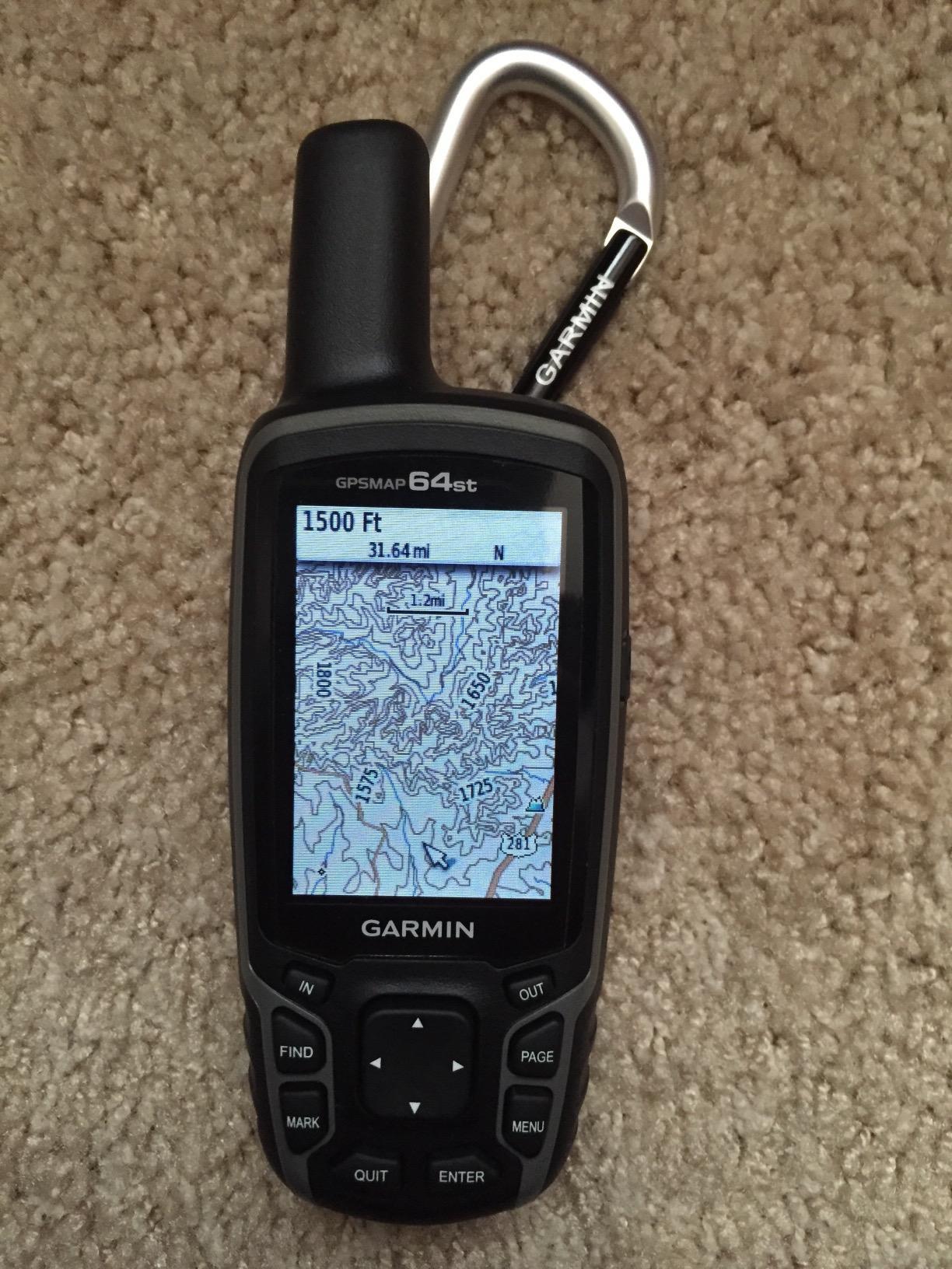
The 64st has a 4.5 rating from 1162 reviews, and the reason is unusually specific. Owners describe it as the unit that keeps a lock when nothing else does, in exactly the conditions where a wrong position becomes a real problem. For hunting in heavy timber or working canyons, that reputation is earned.
The receiver is a high-sensitivity GPS and GLONASS design with a quad-helix antenna, which is the architecture most associated with strong acquisition performance. It is not multi-band, so it is not immune to multipath error, but the antenna and sensitivity give it a margin that reviewers notice in the field rather than on paper.
The Map Detail Problem You Need to Know About
The preloaded TOPO U.S. 100K maps are the single most-cited complaint in reviews of this device, and it deserves a direct mention rather than a footnote. One hundred thousand scale is a regional overview, not a trail map. For off-trail navigation you will want 24K topographic detail, which is an extra purchase and a download step.
There is a related ownership wrinkle worth knowing: paid map downloads generally do not transfer to a replacement unit. If you plan to keep handhelds for a decade, factor that into the decision, because you may re-buy maps with each new body.
Power, Storage and Sensor Pairing
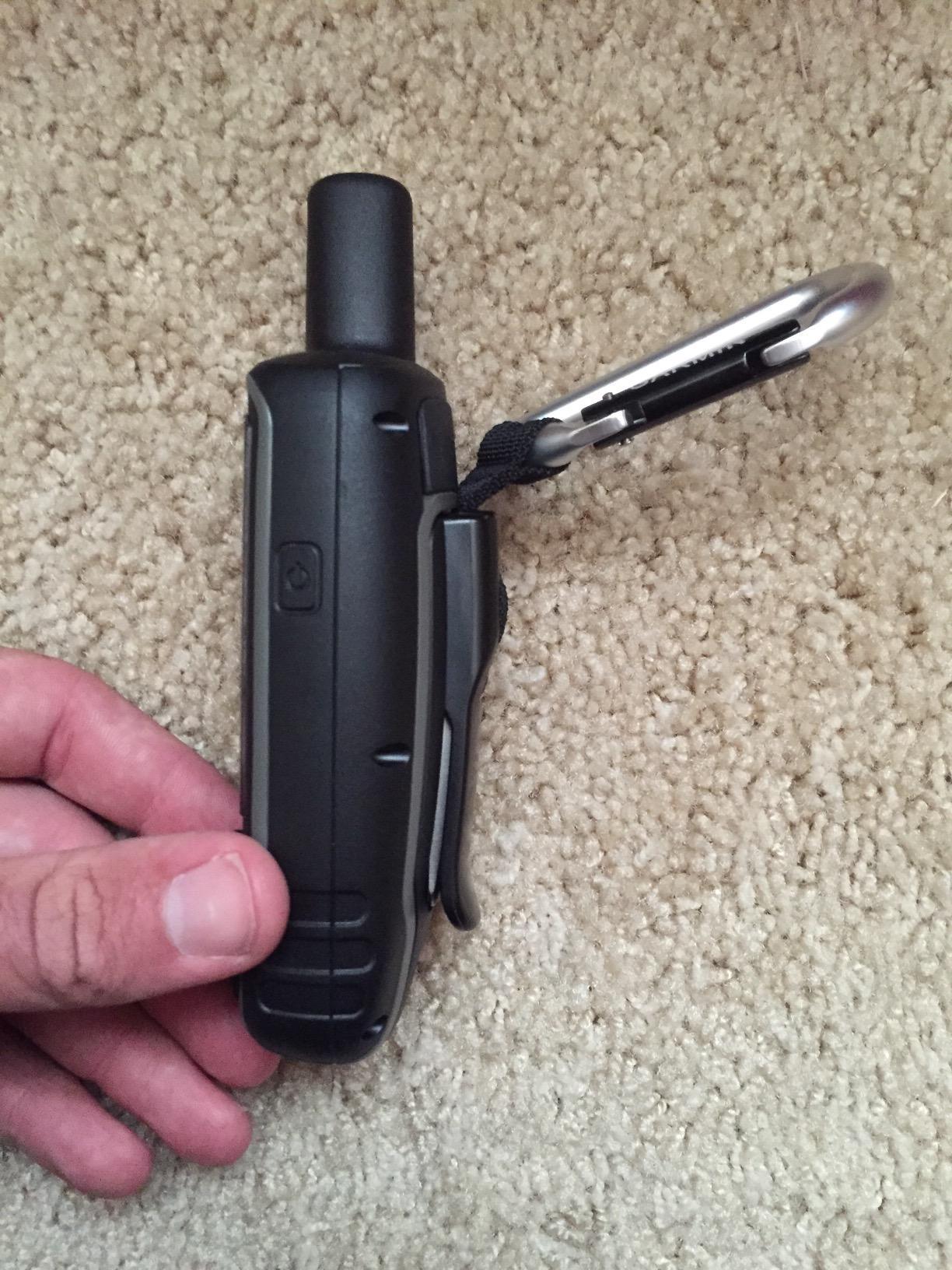
The dual battery design accepts two ordinary AA batteries or an optional rechargeable NiMH pack that charges inside the device. That flexibility is genuinely useful in cold weather, where lithium-ion internal packs lose capacity and AA cells do not. Rated life is 16 hours, which is the shortest in this lineup.
Eight gigabytes of internal memory with microSD expansion gives real working room, and Bluetooth Smart plus ANT+ support means you can pair a heart rate monitor, a temperature sensor, speed and cadence data or a VIRB action camera. Smart notifications let you see phone alerts on the trail without pulling the phone out.
Windshield and dashboard mounts are included, which is a small detail that makes this unit a natural fit for a UTV or a truck dash. Long-distance travelers on forums describe running professional crews nine-hour days on a multi-day battery set, which matches the enthusiast profile of this device.
Who It Is For and Who Should Skip It
This is the pick for hunters, tree stand setups, backcountry vehicle trips and anyone who works where the canopy is thick. The 3-axis electronic compass and barometric altimeter also make it a good general field tool, and 200 route storage is ample for most planning.
Skip it if your trips are short. Sixteen hours of rated runtime will not cover a long trip without a battery plan, and the button data entry is slow if you need to type names. The mini-USB port and the older desktop software workflow are also dated compared with USB-C units.
5. Garmin eTrex 30 – Worldwide Maps and a Real Altimeter in a Wrist-Mount Body
- ✓Worldwide basemap with shaded relief included
- ✓3-axis electronic compass and barometric altimeter
- ✓Paperless geocaching support
- ✓25 hour AA battery in a waterproof body
- ✓Wrist mount included in the box
- ✕Only 1.69 GB of memory and no card included
- ✕Resistive screen scratches and responds slowly
- ✕2.2 inch 176 by 220 display is small
- ✕Older design with no modern wireless
2.2 inch 65K color TFT
25 hour battery
About 4.9 ounces
Rugged and waterproof
Wrist mount included
The pairing is 3-axis electronic compass plus barometric altimeter plus worldwide shaded-relief basemap in one waterproof AA-powered body, and no other device in this list does all three. Reviewers describe it as a classic all-in-one that quietly keeps working.
Its 4.3 rating from 718 reviews reflects a device that is well loved by a narrower group. The enthusiast following is international travelers and geocachers who want a wrist-mountable navigator that does not need charging and does not need a data plan. For everyone else, the eTrex 22x or GPSMAP 64 is the more sensible starting point.
Wrist Mounting Changes How You Use It
The included wrist mount is the feature that separates this unit from the rest. Worn on the arm, it becomes a glanceable altimeter and compass rather than a device you have to fish out of a pack, and for high-output hiking that is a real behavioural difference.
It weighs about 4.9 ounces, which makes it one of the lightest devices here even before the mount. In a sport that rewards stripping every gram, that is not a negligible spec. Paperless geocaching support is also built in, which is why this model retains a following in the caching community.
Storage and Screen Limitations
Here is the catch. Internal memory is 1.69 gigabytes, the smallest in this lineup, and detailed street and topographic maps require a microSD card that is not included. So the shaded-relief basemap you get out of the box is genuinely useful, and anything more detailed is an extra purchase plus a card.
The 2.2 inch 176 by 220 pixel resistive display is another limit. Resistive panels respond slowly, need a firm press rather than a tap, and scratch more easily than capacitive glass. It is readable in direct sun, but browsing a detailed map on it is a test of patience.
Who It Is For and Who Should Skip It
Buy this if you want a worldwide basemap with terrain shading and a genuine altimeter without spending on a subscription, and if you will actually wear it on your wrist. It is also a strong second unit to keep in the vehicle for international trips where local data is hard to source.
Skip it if storage matters to your work or if you want the fastest interface available. This is an older design with only ANT+ and USB for connectivity, so there is no smart notifications and no modern app workflow. For a first-time buyer on modern maps, the GPSMAP 64 gives you more capacity for a similar outlay.
6. Garmin GPSMAP 64 – The Overlanding Workhorse With a Big Screen
- ✓2.6 inch sunlight-readable transflective color display
- ✓High-sensitivity GPS with GLONASS for canyons and heavy cover
- ✓Dual AA or rechargeable NiMH power
- ✓Bluetooth Smart and ANT+ support
- ✓Rugged waterproof build
- ✕Only 4 GB of internal memory
- ✕No touchscreen so all navigation is button-driven
- ✕16 hour rated battery
- ✕Worldwide model ships with less detailed mapping
2.6 inch color TFT
16 hour battery
About 8.1 ounces with batteries
4 GB plus microSD
AA or NiMH power
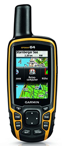
The GPSMAP 64 is the unit to look at if your navigation happens inside a vehicle. The 2.6 inch transflective color display is the largest panel in this group apart from the Montana 680, and transflective screens are inherently strong in direct sun because the sunlight itself illuminates the pixels.
It holds a 4.5 rating from 461 reviews, which is high for a mid-tier body. Reviewers point to fast acquisition, flexible power and a waterproof chassis, and the recurring reservations are all about age: 4 gigabytes of memory, no touchscreen and a 16-hour runtime.
Reception for Canyons, Cover and Urban Error
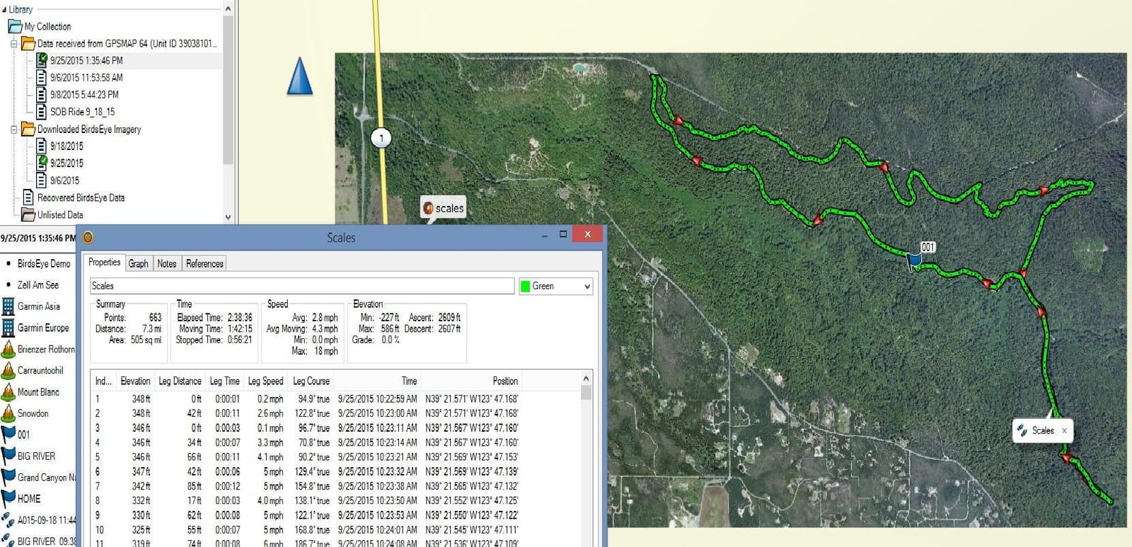
The high-sensitivity receiver with GLONASS is the technical reason this unit performs well in awkward terrain. Additional constellations mean more visible satellites and better position geometry, which translates into a faster first fix and a position that holds steady rather than wandering.
That said, it remains a single-band L1 receiver. Under severe multipath conditions, such as a narrow slot canyon or directly under a rock overhang, a position can still drift. If your work is in genuinely hostile terrain, a multi-band unit is a different category of purchase, and we have not included one in this roundup.
Power, Memory and Mounting
Four gigabytes of internal memory with microSD expansion is enough for regional work, but it is half what the 64st carries, and the worldwide version of this model ships with less preloaded detail than the U.S. version. If your mapping is topographic and route-specific, budget for map downloads before the trip.
The dual battery system takes two AA batteries or an optional rechargeable NiMH pack that charges in the device. Sixteen hours of rated life is the shortest figure in this lineup, and a fixed basecamp or vehicle application is the pattern that suits it best. Bluetooth Smart and ANT+ add sensor pairing and smart notifications.
Who It Is For and Who Should Skip It
This is the pick for overlanders, backcountry vehicle travelers and anyone splitting time between a UTV and a trail, because the large transflective screen stays readable in a windshield where smaller panels wash out. It also makes a capable marine companion when paired with the right charts, though for a dedicated boat setup our boat GPS guide covers the details properly.
Skip it if you plan to type a lot of waypoint names or scroll a detailed map at speed, since everything runs through buttons. Buy the 64st instead if you need more internal memory and preloaded topographic detail for the same chassis.
7. Garmin inReach SE+ – The Longest Battery Life in the Lineup
- ✓Up to 100 hours of default tracking runtime
- ✓Up to 30 days at a 30 minute power-save interval
- ✓Global Iridium two-way messaging and 24/7 SOS
- ✓Light 8 ounce body with carabiner included
- ✓IPX7 and impact resistant
- ✕Satellite messaging tracking and SOS all need a subscription
- ✕No topographic detail preloaded on the device
- ✕Small 2.3 inch button-only display
- ✕No digital compass or barometric altimeter
2.3 inch screen
100 hours at 10 minute tracking
Up to 30 days power-save
8 ounces
IPX7
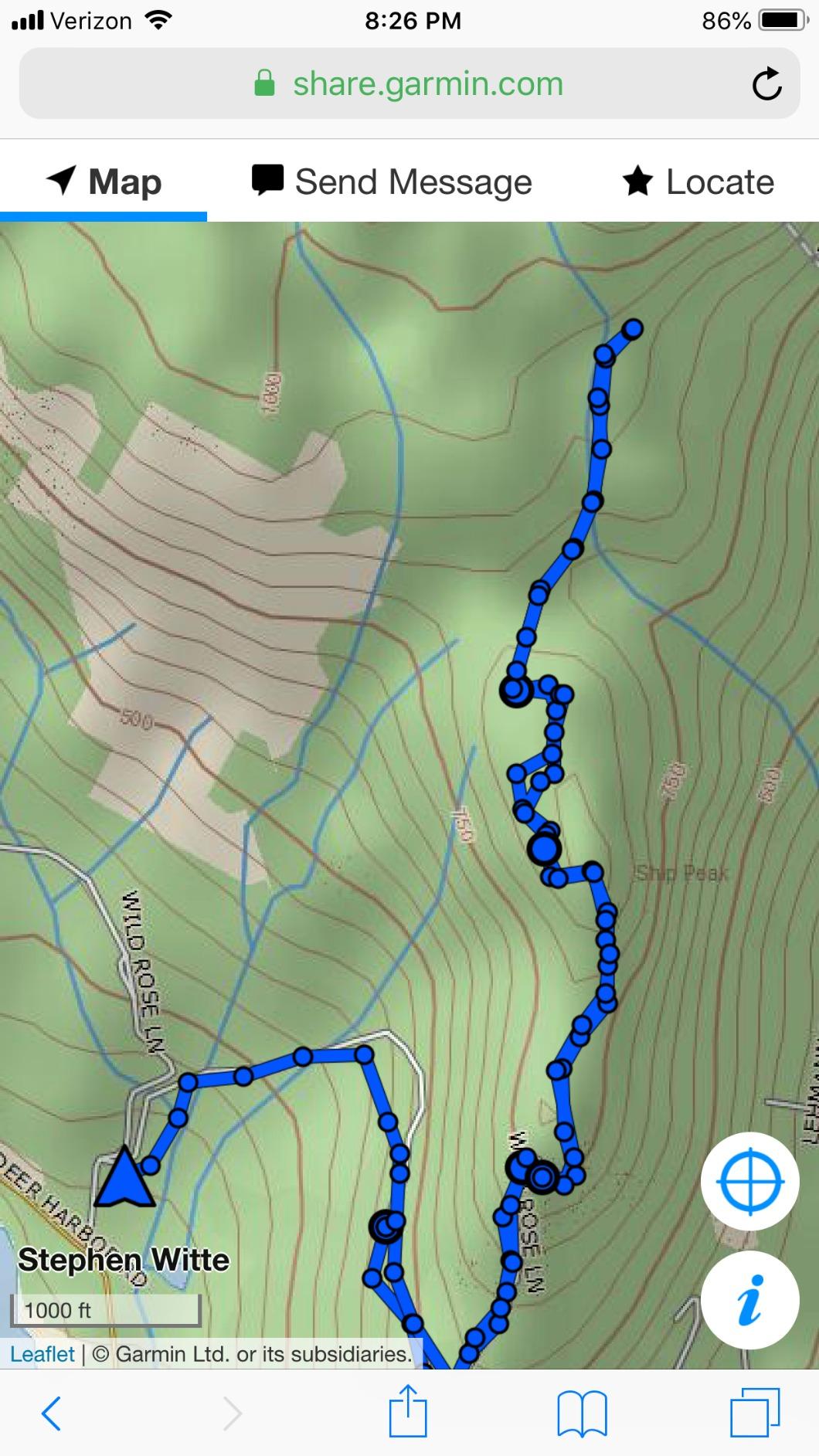
The inReach SE+ wins the battery category by a distance that no other device in this list comes close to. One hundred hours of runtime at the default ten-minute tracking interval, up to thirty days at a thirty-minute power-save interval, and up to three years powered off. For a long remote deployment, nothing else here comes close.
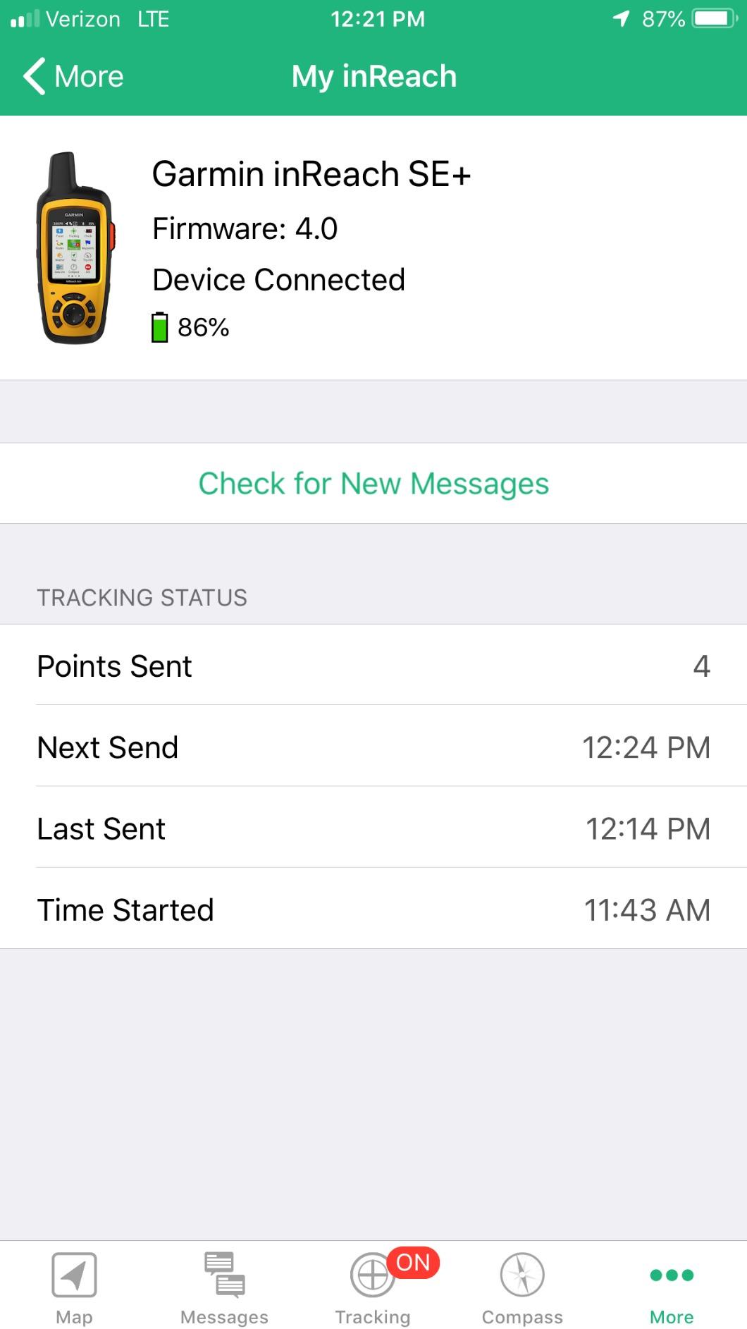
It rates 4.2 out of 5 from 286 reviews. The gap between this and the Explorer+ is mostly feature set, not build quality: both are 8 ounces, both are IPX7, both run on the global Iridium network, and both require a subscription for the satellite functions.
What the Tracking Intervals Actually Mean
Those runtime numbers are not marketing fluff; they reflect a real change in how hard the device is working. At ten-minute location intervals, it wakes, acquires, transmits and sleeps, which costs a fraction of continuous tracking. At a thirty-minute interval, the same battery runs for weeks.
That makes the SE+ the natural choice for anyone leaving a device in a tree stand, a cache or a vehicle for an extended period. It is also the one to grab for a long overland trip where you simply do not want to think about charging. For interactive navigation, the shorter figures matter more.
Maps and Sensors: Where It Falls Short
There is no topographic detail preloaded on the device. Maps arrive through the Earthmate app on your phone or get downloaded ahead of time, so unlike the Explorer+ this is not a device you can pull out of a pack in a remote area and immediately use for detailed navigation.
It also lacks the digital compass and barometric altimeter the Explorer+ carries. That is a real functional difference rather than a spec quibble, because a heading reference and a pressure-based elevation are genuinely useful when you are moving in poor visibility.
Who It Is For and Who Should Skip It
Buy this for a remote worker who needs a check-in beacon more than a map reader. Wildlife researchers, hunters running a remote camera network, long-distance travelers and expedition outfitters are all good fits, and the included carabiner makes it easy to clip to a pack or a harness.
Skip it as a primary mapping tool if you rely on the map more than the message. The 2.3 inch 200 by 265 pixel display is button-driven, so field data entry is slow with cold or gloved hands. If you want both, the Explorer+ is the better single purchase.
8. Garmin Montana 680 – The Big Touchscreen With a Geotagging Camera
- ✓Largest display in the lineup at 4.3 inches
- ✓8 megapixel camera with automatic geotagging
- ✓250000 preloaded worldwide geocaches
- ✓Hotfix and GLONASS hold position in heavy cover
- ✓Rechargeable lithium-ion pack
- ✕Ships without preloaded topographic maps
- ✕Confusing desktop map download workflow
- ✕No Bluetooth or Wi-Fi on this model
- ✕Touchscreen is awkward with gloves and the screen scratches
4.3 inch color touchscreen
16 hour battery
About 0.33 kg
8 megapixel camera
Lithium-ion power
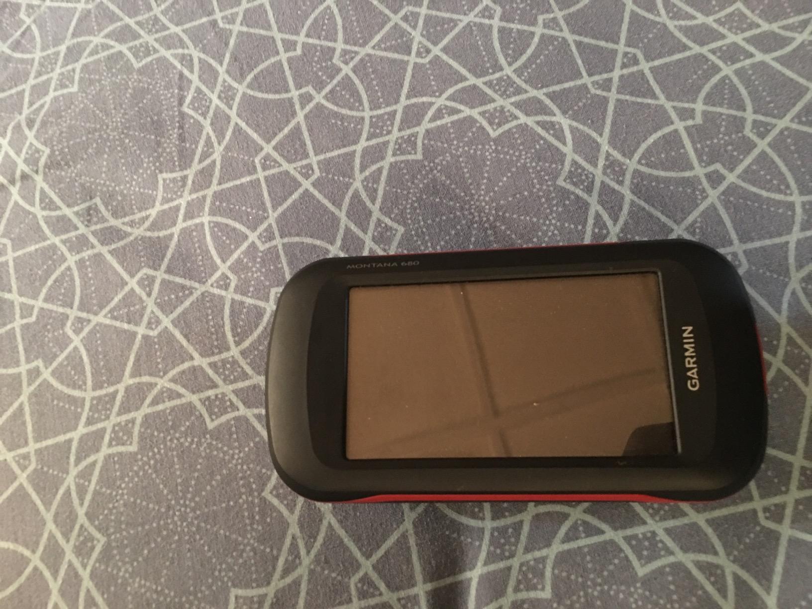
The Montana 680 has the best hardware in this roundup and the lowest rating, at 4.1 out of 5 from 275 reviews. That combination is not a mystery. Buyers who expected maps in the box got a surprise, and the reviews that dragged the score down are almost entirely about that, not about the device performing badly.
So this is the touchscreen specialist. A 4.3 inch sunlight-readable color panel, an 8 megapixel camera that geotags photos automatically, and 250,000 preloaded worldwide geocaches make it the natural choice for geocaching, route documentation and anyone who plans on a bench rather than moving fast.
Why the Rating Sits at 4.1
This model does not ship with preloaded full topographic maps, unlike the 64st and the eTrex 22x. You have to buy or download map regions yourself, and the desktop workflow for doing it is widely described as confusing and poorly documented for a first-time owner.
That is a purchasing-expectation problem rather than a hardware failure, and it is entirely avoidable if you know it going in. The one-year BirdsEye satellite imagery subscription is included, and the BaseCamp software on a computer does make planning and reviewing routes straightforward once you have done it once.
Camera, Caches and Screen Real Estate
The built-in 8 megapixel camera geotags every photo with coordinates automatically. For documenting a route, marking a cache location or recording evidence of a boundary, that is a feature no other device in this list offers, and it turns the unit into a lightweight field data collector.
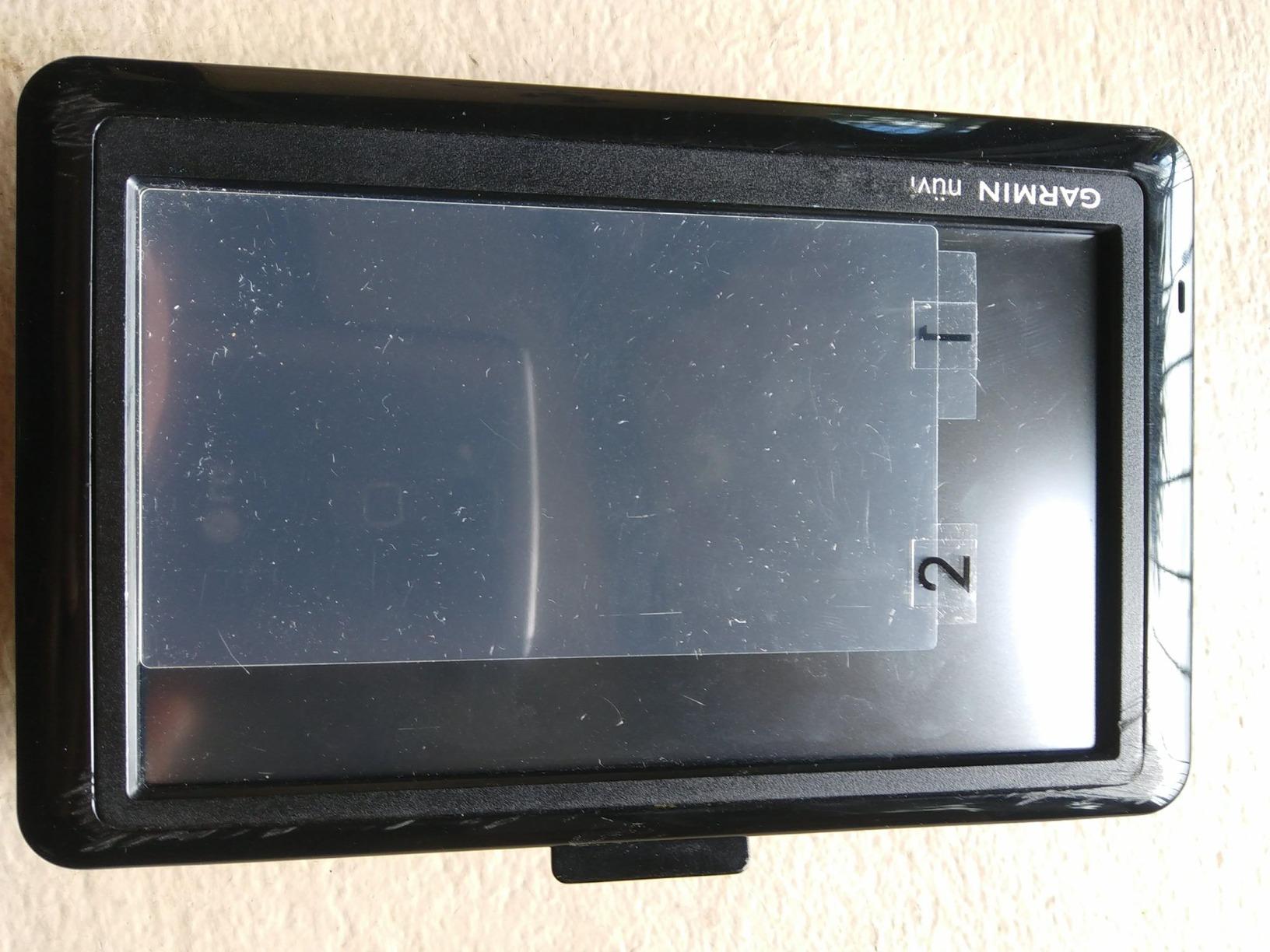
The 4.3 inch screen is by far the largest here, and sunlight-readable, which makes it the easiest device here for reading a map at a standstill. The tradeoff is a body weighing about 0.33 kg, which is more than double the eTrex 22x, and a touchscreen that is awkward with gloves on.
Who It Is For and Who Should Skip It
Pick this for geocaching, family hiking where the device gets handed around, and fieldwork where photographed, tagged evidence matters. The preloaded cache database works immediately with no download, and a rechargeable lithium-ion pack avoids carrying spares.
Skip it for winter expeditions where you will be operating in gloves, and skip it if you have never transferred maps to a handheld before. There is no Bluetooth or Wi-Fi on this model, so it cannot sync to the phone apps that make newer units easier to set up. Sixteen hours of realistic runtime is also the shortest modern figure here.
Handheld GPS Without a Subscription: The Zero-Recurring-Cost Picks
Six of the eight devices here run with zero recurring cost, and they are the eTrex 10, the eTrex 22x, the eTrex 30, the GPSMAP 64st, the GPSMAP 64 and the Montana 680. Navigation, mapping, tracking and waypoint storage on all six work fully without a service plan. The only thing you give up is satellite messaging and SOS.
That is a fair trade for a large share of buyers. Forum discussion makes the recurring fee the single most-cited reason people step down a tier or skip satellite features entirely, and a device you only use twice a year is a poor candidate for a monthly charge that runs all year.
Among the free options, the eTrex 22x is the one we would pick today because it ships with routable topographic maps and has real storage behind a microSD slot. The eTrex 10 wins on weight and simplicity, the GPSMAP 64st wins on reception, and the Montana 680 wins on screen size and geotagging.
Handheld GPS vs Your Phone: What a Dedicated Unit Actually Adds
For most day hikers on maintained trail with coverage, the phone wins. Downloaded offline maps from the major trail apps work well, the screen is far better, and you are not adding a dedicated device to your kit. Paying for a handheld in that situation is honest money spent for peace of mind, not for capability.
Where the phone loses is the pattern that shows up over and over in backcountry threads. Phone battery drain on a full day with maps running is the number one trigger for buying a handheld, and cold weather reduces phone battery performance at exactly the moment you need it most. A two-AA device sidesteps both problems entirely.
A handheld also works with gloves, survives being dunked without consequence, and does not care about your phone battery health two years from now. If you are carrying a satellite communicator, it is doing the same job as your phone’s location sharing with none of the coverage dependency. If you are not, you get navigation plus an SOS button on the two models that have one.
So the honest framework is this: stay with your phone if your trips are inside coverage and you already carry a power bank. Buy a handheld if you regularly travel beyond coverage, if your trips run multiple days, if you will be operating in gloves and rain, or if you want a working map and a rescue channel in a device that costs the same as one night of a hotel.
How to Choose a Handheld GPS Unit
Battery Life Should Be Judged in Days, Not Hours
Manufacturer runtime figures are measured in continuous GPS mode, which is more demanding than normal use. A unit rated at 25 hours will comfortably cover a two- or three-day trip on a charge, because most hikers are not tracking continuously for a full day. Read the figure as a floor, not a ceiling.
Pay more attention to battery chemistry than to the number. AA-powered units tolerate cold and let you carry cheap spares, while internal lithium-ion packs are lighter and better on satellite models but lose capacity in freezing conditions. Expedition or power-save modes extend runtime substantially by reducing tracking frequency and switching off wireless radios.
Reception, Constellations and the Canopy Problem
Any unit worth buying listens to more than one GNSS constellation. GPS, GLONASS, Galileo, BeiDou and QZSS together give the receiver more satellites to work with, which improves acquisition time and position stability under canopy. Single-constellation devices will work, but they work harder for the same result.
Multi-band reception, listening to two satellite frequency bands at once, is the next step up and it matters in canyons and dense forest where signals bounce off terrain before reaching the antenna. None of the eight devices here is multi-band, so if your routes genuinely run through slot canyons, factor in a device outside this price and feature tier.
Maps and Memory: The Decision Most People Regret
Internal memory decides whether you can carry detailed topographic maps or just a basic basemap. Anything at or below 2 gigabytes is effectively a viewing device unless you add a memory card. Four gigabytes is workable for regional work, and 8 gigabytes or more is comfortable for multi-region trips.
Check what is preloaded before you buy, and check whether the unit takes a memory card. The eTrex 10 with 6 megabytes and the eTrex 30 with 1.69 gigabytes will not hold detailed maps out of the box, and the Montana 680 ships with no full topographic set at all despite being the most expensive body in this group.
Screen Size, Sunlight and Gloves
Under about 2.3 inches, map browsing gets difficult and contour lines blur together. Above 4 inches, the device becomes noticeably heavier and less pleasant on a lanyard. The 2.2 to 2.6 inch range is the sweet spot for portable use, and transflective color panels stay readable in direct sun better than standard LCDs.
Decide whether you will operate it with gloves on. Physical buttons and a joystick work in cold rain; a capacitive touchscreen does not, and that single question eliminates several otherwise strong candidates for winter and early-season use. Users consistently name glove operation and a non-floatable body around water as hard deal-breakers.
Satellite Messaging Is a Separate Purchase Decision
Interactive SOS and two-way messaging only exist on the two satellite models here, and both require a paid service plan for those features. Treat that as a safety purchase, not a navigation upgrade, and be honest about how often you will use it. Weekly remote use makes the plan easy to justify; twice a year does not.
One practical note: satellite functions cost nothing to carry, and the inReach SE+ can sit in a pack powered off for years. But a subscription you never activate protects nothing, and budget accordingly before you commit.
Durability and Water
Every unit in this roundup carries an IPX7 rating, which means immersion in one meter of water for 30 minutes. In practice these devices float rather than sink, which matters enormously for paddling, fishing and wet-weather hiking where a lost device is a lost trip.
For a kayak or boat application, treat floating as a hard requirement rather than a bonus, and see our boat GPS comparison before choosing a dedicated marine unit instead. For everything else, IPX7 across this category is close to standard, so weight and battery matter more than the rating.
Frequently Asked Questions
What is the best handheld GPS device?
The best overall handheld GPS unit is the Garmin inReach Explorer+, which pairs multi-constellation reception and preloaded DeLorme topographic maps with global two-way satellite messaging and a 24/7 SOS. It rates 4.7 out of 5 from over 1600 reviews, weighs 8 ounces, runs 30 hours per charge and carries an IPX7 water rating. If you never go beyond cell coverage, the eTrex 22x is the better value.
What is the most accurate handheld GPS unit?
Accuracy depends less on brand than on satellite architecture. Multi-band receivers that listen to two frequency bands at once hold position better under dense canopy and in slot canyons, because they can filter interference from signals that bounce off terrain. None of the eight units reviewed here is multi-band. Among these picks, the GPSMAP 64st and GPSMAP 64 use a high-sensitivity receiver with GLONASS and a quad-helix antenna.
What is the best handheld GPS without a subscription?
The eTrex 22x is the strongest subscription-free pick because it ships with preloaded routable TopoActive maps, 8 GB of internal memory and a microSD slot. The eTrex 10, eTrex 30, GPSMAP 64, GPSMAP 64st and Montana 680 also run with zero recurring cost. Only the inReach Explorer+ and inReach SE+ require a paid plan, and only for satellite messaging and SOS.
Is a handheld GPS worth getting?
Yes if you regularly travel beyond cell coverage, take multi-day trips, operate in gloves and rain, or want a rescue channel you can send a message through. No if your hiking stays on marked trail within coverage and you already carry a power bank, because a phone running downloaded offline maps does that job well. The most common trigger for buying one is phone battery drain on a full day of navigation.
Which Garmin handheld GPS is the best?
For most backcountry users the inReach Explorer+ is the best Garmin handheld, because it combines satellite messaging, a barometric altimeter, a digital compass and preloaded topographic maps in an 8 ounce IPX7 body. For hikers who want maps without a service plan, the eTrex 22x is the current-generation value pick. For the largest screen, the Montana 680 wins on display area and camera.
What is the best handheld GPS device for surveying?
Survey and field-mapping work needs waypoint capacity in the thousands, expandable storage and stable accuracy, which points to a unit with 8 GB of memory and a microSD slot rather than a breadcrumb tracker. Among these picks the GPSMAP 64st and the eTrex 22x fit that brief, and the Montana 680 adds a geotagging camera for recording evidence. For legally defensible measurements, a dedicated survey receiver is still a separate purchase.
Do handheld GPS units work without cell service?
Yes, and that is the entire reason they exist. All eight devices receive positioning signals directly from satellites, so navigation, tracking and waypoint storage work with no cellular coverage at all. Only the inReach Explorer+ and inReach SE+ go further and transmit messages or an SOS through the Iridium satellite network, and those two features require a paid subscription plan.
How do I load topographic maps onto a handheld GPS?
In most cases you load maps from a computer using the manufacturer’s free desktop software rather than directly from a phone. Connect the unit by USB, install the software, select the map type and region you want, and wait for the transfer to finish. Keep in mind that preloaded detail varies widely between models, that some units need a memory card for large regions, and that paid map downloads may not transfer to a replacement device.
The Bottom Line: Which Handheld GPS Should You Buy?
Our Editor’s Choice, the Garmin inReach Explorer+, is the unit to buy if you want one device to cover navigation and emergency communication. It has the highest rating in this group at 4.7 out of 5, it works with zero cell coverage, and its subscription is a safety feature rather than a requirement for the core job.
If you never travel beyond coverage, the Garmin eTrex 22x is the better handheld GPS for hiking, with preloaded routable topographic maps, real storage and 25 hours on two AA batteries. The Garmin eTrex 10 wins for absolute lightness at 5 ounces, the GPSMAP 64st wins on reception in thick canopy, the eTrex 30 wins for wrist-mounted worldwide mapping and the Montana 680 wins on screen size and geotagging.
Whichever way you go, the best handheld GPS units in 2026 share one honest limitation: none of these eight is a multi-band receiver, so if your routes run through true slot canyons or heavy old-growth forest, you should plan on open-sky visibility or look at a higher tier. Get the right tool for the terrain you actually walk, not the one with the longest feature list.




Leave a Comment